 |
| The Chippewa National Forest |
(Note: you can click on the photos for a larger version)
We had planned a trip to Canada to visit Lake Superior National Park, making use of an annual pass to the Canadian National Parks that we had purchased last year in Banff. The pass expired in July so timing was good. Unfortunately, life happens and we had to change our plan.
We settled on a visit to the Chippewa National Forest. Most of our Minnesota camping has been in the Superior National Forest. We decided to try the Chip for a change of pace and bit of exploring.
From the forest website (
https://www.fs.usda.gov/chippewa):
The Chippewa National Forest is the first National Forest established
east of the Mississippi River in 1908 and is the home to more lakes and
wetlands than any other National Forest. The forest was originally known
as the Minnesota National Forest. The name was changed in 1928 to honor
the original inhabitants. Today, the Forest and Leech Lake Band of
Ojibwe share goals and offer visitors a chance to experience Anishinabe
culture and learn about the past from prehistory to early, logging-era
and Civilian Conservation Corps days.
We packed up the trailer with supplies and equipment, loaded the canoe on the roof of the camper and headed out. Our plan was to find a nice dispersed site next to a lake to hang out in for a while and enjoy the Minnesota summer. Arriving in mid-afternoon, we stopped at the USFS office in Deer River to obtain a forest map and inquire about dispersed sites. The person at the front desk was very helpful with maps but could not offer any first hand information about specific sites. We were on our own.
We set our sights on a couple of dispersed campsites marked on the map. They were remote sites accessed by forest roads. We spent a couple of hours following maps, searching without success. The scale of the forest map was so large that important detail was lacking. Roads were missing or inaccurately placed. Our DeLorme mapbook was not much better. At one point we drove down a two-track "road" hoping it would lead to a great site. It turned out to be a dead end without room to turn around. I got a lot of practice backing up the trailer in the deep woods to get out of that situation. Unbeknownst to us at the time but discovered later, our targets were walk-in sites rather than road accessed. This distinction was not marked on the maps. No wonder we could not find them. It would have been helpful had the USFS person pointed that out when we were looking at maps in the office. But we could (should) have done more prior due diligence ourselves.
 |
| Trailer packed for the trip. |
With the day waning, we decided to head for a USFS campground on Clubhouse Lake, not far from where we were. We found the campground without any trouble and were pleasantly surprised to find a nice secluded site next to the lake. Being mid-week, the campground was not busy but we got the last lakefront site. We filled out the registration and set up camp.
 |
| Parked in the campsite at Clubhouse Lake. |
The trailer held all our equipment making setting up camp easier than usual. There was no schlepping of equipment out of the camper before we could pop the roof and no loading of stuff into the truck before bed. The trailer also held a new piece of equipment- a Clam screenhouse. This was a much looked-forward-to piece of gear. Our much loved homemade awning and screen house has a major drawback in that it is attached to the truck and must be dismantled if we want to go exploring. The Clam solves this problem. It is very easy to set up and large enough to fit over the picnic table with room for chairs inside as well. This provided a comfortable place to hang out during peak bug times- a necessity in the Minnesota woods. The drawback of the Clam is it's packed size- basically huge. It wouldn't fit in the camper but it fits in the trailer just fine. We will still use our homemade design when we don't want to take the trailer.
 |
| View of camp. |
 |
Another view of camp.
There were no other campsites next to us. |
 |
| View of camp showing the Clam screenhouse set up over the picnic table. |
The afternoon was hot and exceedingly muggy. I was dripping with sweat by the time we got set up and organized. I decided a swim was in order. The campground had a nice beach for swimming- the lake water was crystal clear and the bottom was firm sand with no weeds. The water was refreshingly cool. I eased into the lake for a relaxing dip, cooled off and returned to our camp refreshed.
 |
| View of Clubhouse Lake from the beach. |
We enjoyed a leisurely dinner and a walk around the campground. As the sun was setting, I busied myself splitting some wood for a campfire. Kathy settled into the Clam with a book. After a nice fire we retired to bed.
 |
| Walking around the campground. |
 |
| A pair of entwined pines. |
 |
| Two trees make one. |
 |
| Sunset through the pines. |
 |
| Moonrise over Clubhouse Lake |
We woke to dark clouds in the morning- so dark but not yet raining. We busied ourselves making coffee and breakfast. We tidied up just in time for the deluge to hit. A serious thunderstrom rolled through with heavy rain, lightning and thunder. We sat in the camper and watched it blow through. We pulled out the weather radio to get the forecast- continued rain throughout the day with clearing in the late afternoon. We decided to do a driving tour of the forest while we waited for the weather to clear.
Our first stop was a nearby visitor center in the town of Marcell. The place was very nice with informative exhibits on plant and animal life and a small gift shop. The campground host had suggested we could get a county road map there. We found a local older volunteer there who was a wealth of information. We described our frustration of the day before- he informed us that the sites we were looking for were walk-in sites. He sold us a county road map which had much better detail and information. We used it to search out a few more recommended dispersed campsites. This time we were able to find the sites but did not find one to our liking. We did find some very nice walk-in sites. We checked out another campground but it was not as nice as the one we were were at already. We decided to stay put.
All in all, it was a fun day of exploring pretty forest roads. We saw many deer with fawns and a lot of nice forest vistas. We returned to camp in the late afternoon as the sun was coming out. Another warm and muggy evening was ahead of us. I opted for another swim. We decided against a campfire this night due to the sticky weather.
 |
| Another view of the swimming beach. |
The sun on distant thunderheads provided sufficient visual entertainment. While sitting at the beach enjoying the breeze, we met some folks from Idaho that were camped across the way and walked over to introduce themselves. A married couple and the husband's sister. We had a nice conversation sitting around the picnic table. They liked the Clam and inquired about it, having been suffering with the mosquitos and flies. I mentioned I had bought ours online from a store located in Grand Rapids, a town about 40 miles away. L&M Fleet Supply had the best price I could find. The Idaho folks decided to drive there the next day to get one.
 |
| Distant thunderheads brewing. |
 |
| It was interesting watching the clouds grow in size and turbulence. |
The next day dawned sunny and breezy. We decided to take the canoe out for a paddle. We packed a lunch and toured Clubhouse Lake. We found a large active beaver lodge, saw a bald eagle soaring overhead and several deer wading in the water. I guess they like to cool off also. We ended up returning to the campground to eat our lunch at the picnic area by the water. It was very pleasant.
 |
| checking out a beaver lodge. |
 |
| Nice day for a paddle. |
 |
| Picnic spot. |
After lunch we decided to take a field trip to check out a couple of sites I had noticed on the forest map. The first was called the Lost Forty. It turns out the Lost Forty is actually 144 acres of old growth pines that escaped logging due to a surveying error. The trees are estimated to be 300-400 years old. There is a short hiking trail that winds through the site. Even on a sunny day the light was dim and the trees were majestic. We tried to imagine the time when the northern third of the state was covered in trees like this. It was a fun walk.
 |
| Road to Lost Forty. |
 |
| Sign at Lost Forty. |
 |
| That's a tall tree. |
 |
| The trees were majestic. |
 |
| Old bark. |
 |
| A nice walk in the woods. |
 |
| A fallen giant makes a good backrest. |
 |
| Sitting on a big tree trunk |
 |
| Another big tree. |
 |
| Walking on the road at the Lost Forty. |
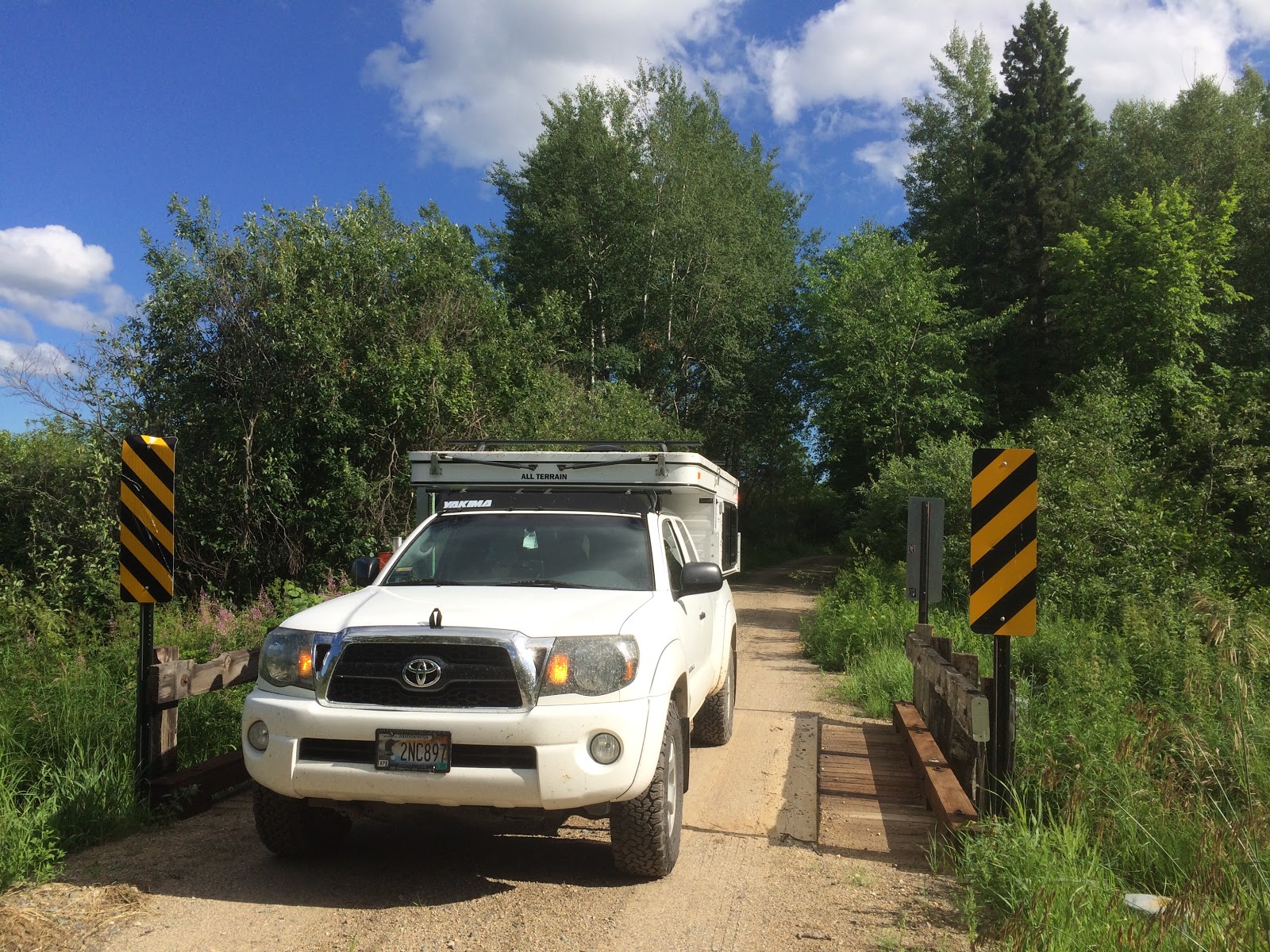
After our walk we explored a narrow forest road that crossed a small stream. The one lane bridge afforded a nice view of a wetland and the forest beyond. We returned back the way we came.
 |
| Small creek and wetland from one lane bridge. |
 |
| One-lane bridge. |
 |
| Another view of the forest wetland. |
The next site I wanted to see was a feature on the map labeled Braided
Delta Eskers. Eskers are land forms created by melting glaciers. ( see
https://en.wikipedia.org/wiki/Esker).
When we got to the site, I realized we would probably have better luck
seeing them if we could fly. Dense forest cover pretty much obscured the
land forms but the topography of the forest road gave us the idea with a
succession of quick up and down hills as we traversed the eskers.
I did find the site on Google Earth. Here is a screen shot of the areial view. The eskers are visible in the patterns of the vegetation. We drove the forest road going west to east across the upper portion of the pic. If you want to look it up the coordinates are: 47°39'34.22"N, 93°39'46.60"W.
 |
| Google Earth view of braided delta eskers. |
After our field trip, we returned to camp for another relaxing evening. The folks from Idaho returned with their Clam tent matching ours. They were happy. After dinner I took another swim and we secured camp for the evening.
The next day would see another cloudy morning with rain threatening. We had to vacate our campsite by 1 PM as it was reserved by others for the weekend. We decided to take a leisurely trip toward home exploring as we went. If we found a campsite to our liking, we would camp another night. Otherwise we would head home.
We stopped at several state parks on our way.
Schoolcraft State Park was first. Located along the Mississippi River, it recognizes Henry Rowe Schoolcraft, the early Indian agent credited with charting the headwaters of the Mississippi.
The park was named for Henry Rowe Schoolcraft, who with Anishinabe guide
Ozawindib charted the headwaters of the Mississippi River. Schoolcraft
was a long-time agent for the Chippewa Indians at Sault Saint Marie.
During his term as Indian agent he wrote several volumes of customs,
legends and history about the Indians. It was from his writings that
Longfellow gathered the material for "The Legend of Hiawatha." From
studies of Schoolcraft's diary it is believed he camped in this area on
his trip to the headwaters of the Mississippi. On the field at the
southern end of the park is the site of the first recorded homestead in
Torrey Township. It was a well-known stopping place for early river
travelers and lumberjacks who worked the river. Many relics of the
logging days have been found on the premises, as well as evidence of the
Indians who camped here long before then. The cook shacks or wannigans
as they were called, tied up near the mouth of the Vermillion River. It
was from these flat-bottomed river boats that the hungry men who drove
the logs down the Vermillion and Mississippi rivers were fed.
There were a few canoeists camped there. The park was dark and buggy on this rainy day and we did not hang around long. We also visited the Crow Wing State Forest Greer Lake campground nearby. Located next to Greer Lake, there were a few families camped there in RVs.
 |
| Driving back roads near Schoolcraft State Park. |
Next on our exploration was the Cuyuna Country State Recreation Area (
https://www.dnr.state.mn.us/state_parks/park.html?id=sra00302#homepage). We had to negotiate closed roads and construction to reach the park but we enjoyed our visit.
This park was created out of land abandoned 30 years ago by open pit iron mining companies after their mines closed. This area was interesting to me as I visited it as a child on vacation with my family while the mines were still operating. I remember looking down into the deep mine pits and seeing the enormous trucks hauling ore.
 |
Me with my Mom and brother looking into the pit
1956
|
The mine pits are now filled with water and the land covered with trees. The park has been developed as a mountain biking destination and from what we saw it is popular. Scuba diving in the mine pits, canoeing and fishing are also popular activities. Even though a rainy day, there were many bikers roaming about. We drove up to an overlook with great views of the area- maybe the same vantage I had as a kid. We ate our lunch under a picnic shelter as a light rain fell.
 |
| View now from overlook at Cuyuna Country |
 |
| Kathy at Cuyuna Overlook. |
Our final destination on our route home was Sand Dunes State Forest (
https://www.dnr.state.mn.us/state_forests/forest.html?id=sft00045#homepage).
From the website:
Sand Dunes State Forest is located within the bounds of Orrock Township,
named after the first white settler in the area, Robert Orrock, who
arrived in 1857. When the first settlers came, the land was virgin
prairie. Most of these pioneers were farmers, so most of this prairie
was turned by their plows. The early major crops were oats, rye, wheat,
barley, corn, potatoes, and hay. Even though the sandy soils were not
conducive to high yields, farming continued as a major source of income
for many families until the late 1920s and early 1930s. The Great
Depression of the '30s and the Dust Bowl drought of 1933–34 brought an
end to most farming in the area. The light, worn-out soils "took to the
air and drifted like snow" over roads and onto front porches. Concerned
citizens who wanted to stabilize the drifting sand began experimental
tree planting in 1941. Many species, including both hardwoods and
conifers, were planted. The conifers surpassed the hardwood species in
survival and growth.
The state forest includes the Uncas Dunes Scientific and Natural Area, which protects the sensitive dunes area as well as a rare dry barrens oak savanna.
More information here:
https://www.dnr.state.mn.us/snas/detail.html?id=sna01039
Kathy and I did an ill-fated bicycle camping trip in this location shortly after we were married. Taking road bikes to an area known for dry sand was just a bad idea. At one point we were trudging through foot-deep sand carrying our loaded bikes just to make some progress. Riding was impossible. Nevertheless, we camped and survived to tell the story later.
There is a small rustic campground located near a lake. On this evening, there were a few folks camped in the campground. At this point we were only an hour away from home. We discussed staying but decided to save the camping fee and head for home. We stopped for dinner at the Sunshine Depot in Elk River, site of many family outings as a kid and later as an adult.
A short drive later we were home again and thinking about our next trip. Thanks for reading our report.
 |
| Our favorite place to be- exploring the back roads. |


What a wonderful area with an opportunity to explore an old grown forest. We especially enjoyed your dunes bike ride story when you were first married. Thanks!
ReplyDeleteThanks for the comment. That bike ride was a long time ago. Time flies but the memories remain, at least so far.
DeleteGreat trip Al.I always enjoy your trips in you home area.
ReplyDeleteWe still have fond memories of our 2012 trip with friends up along Lake Superior.Great place.
Thanks Frank
Frank, thanks for your comment!
DeleteAl, We always enjoy your trip blog. Your photos make the stories come alive, especially Clubhouse Lake, the Lost Forty and the Clam tale! Thanks Steph & Al
ReplyDeleteHi Steph, thanks for reading and your comment!
DeleteWhat a great history of your travels! a wonderful idea..
ReplyDeleteThanks for your comment!
ReplyDelete